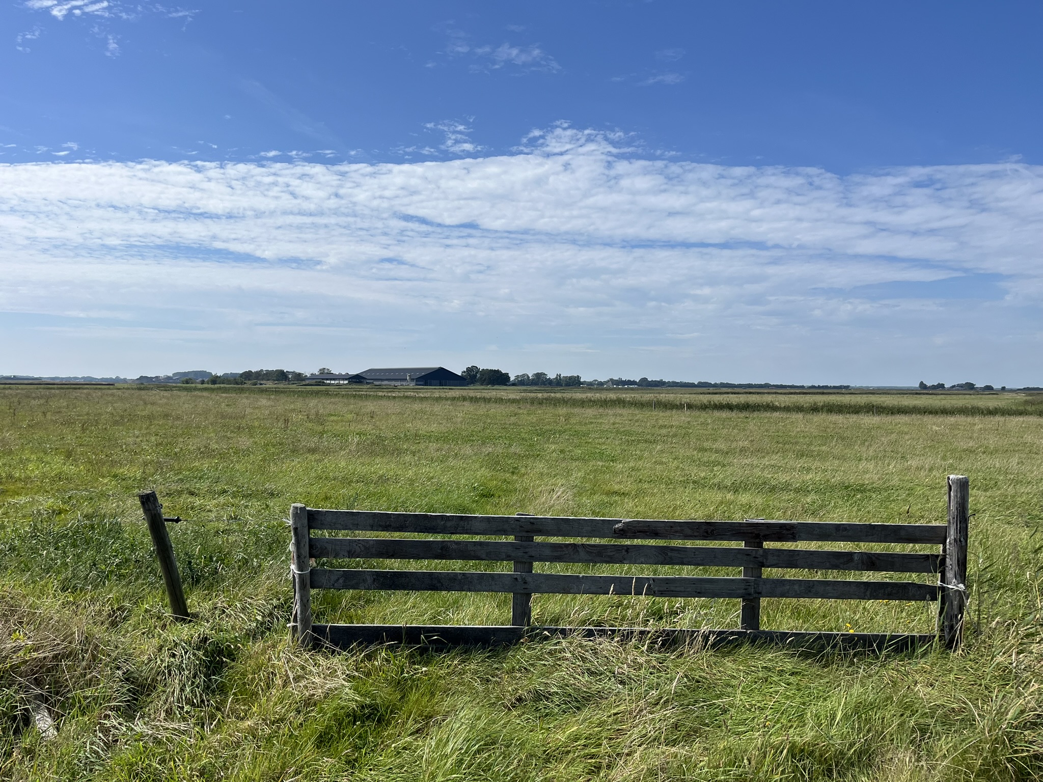
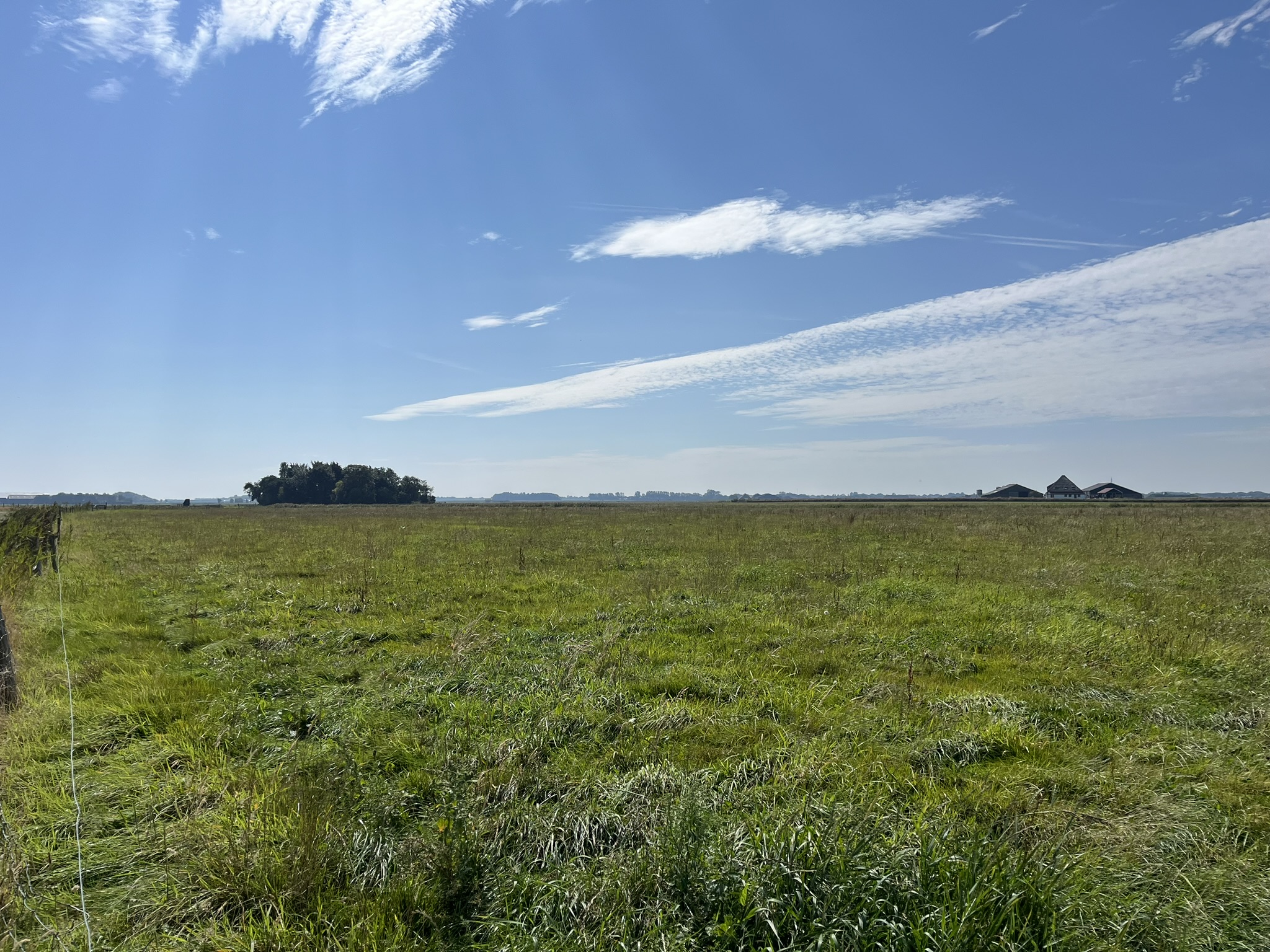
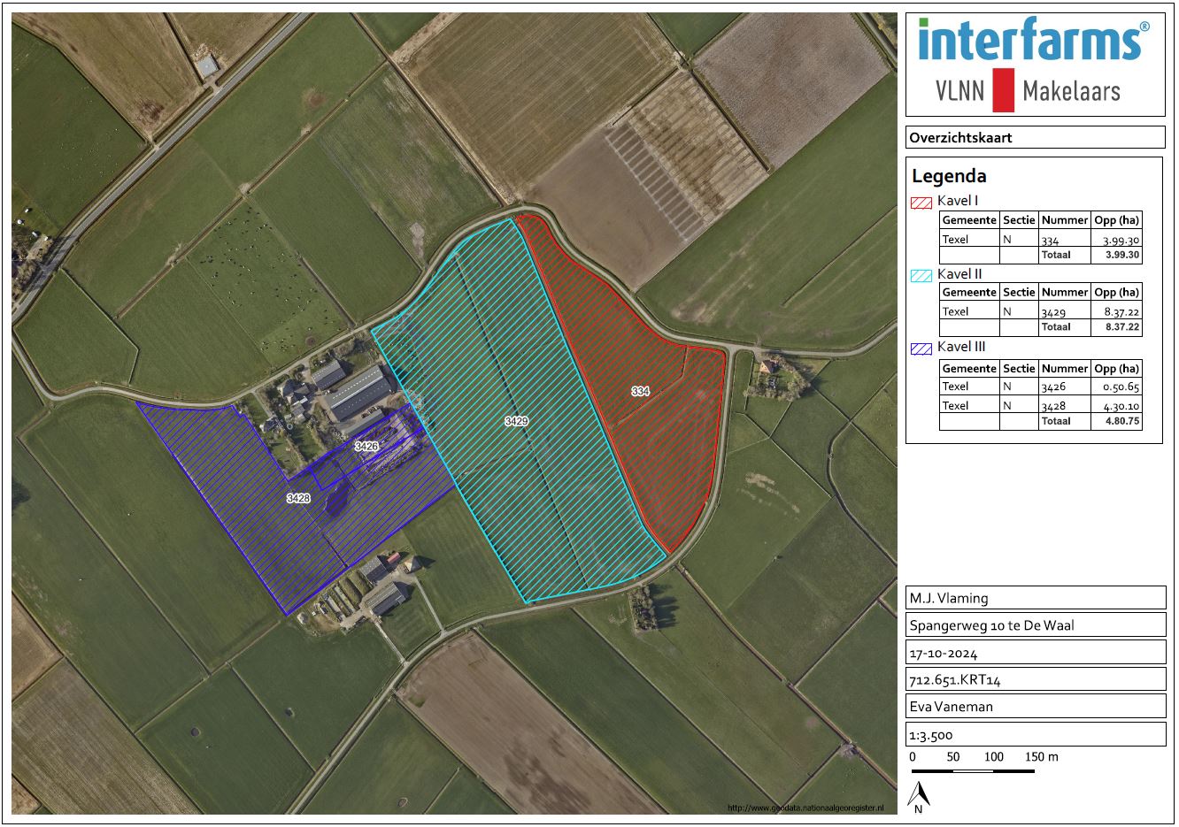
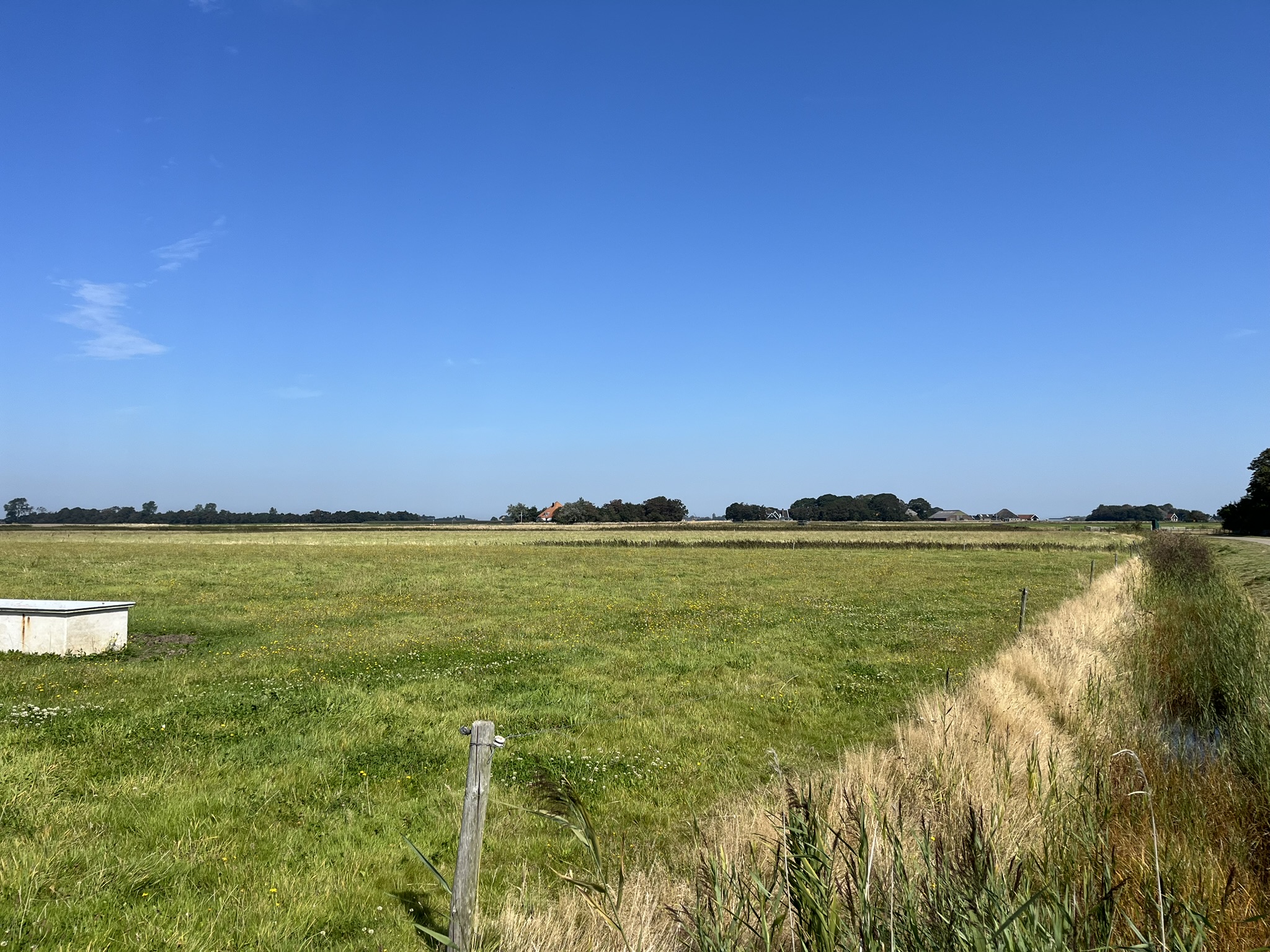
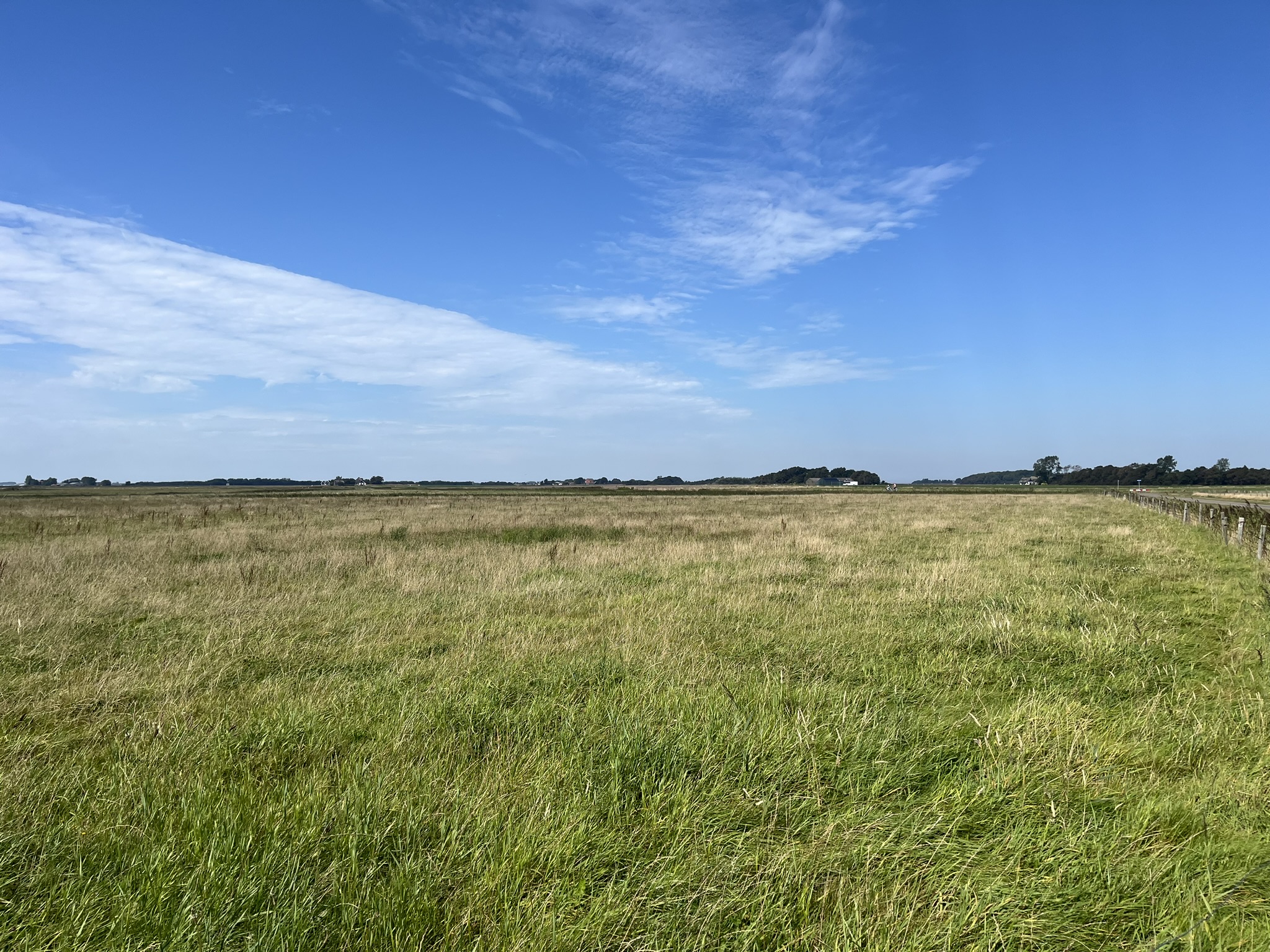
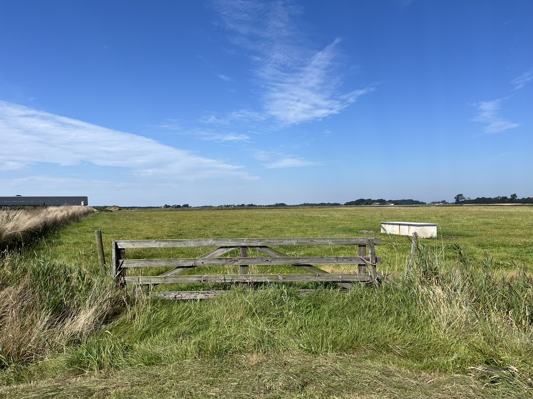
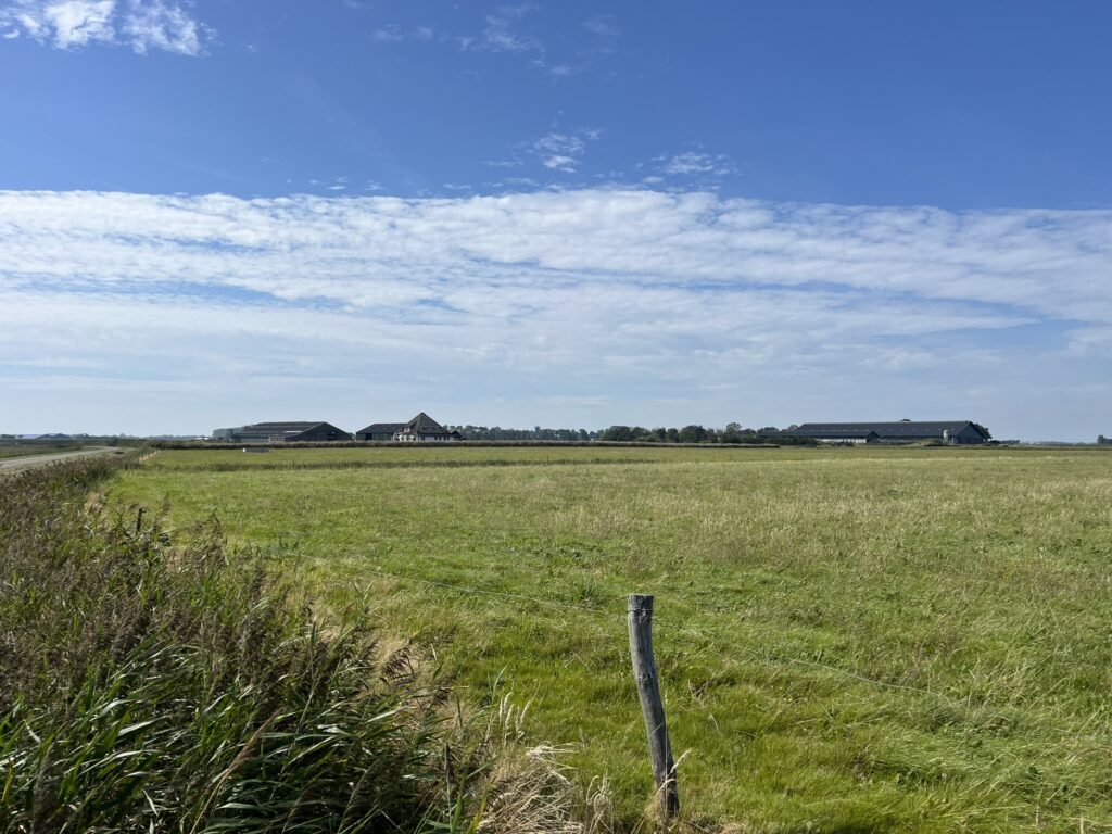
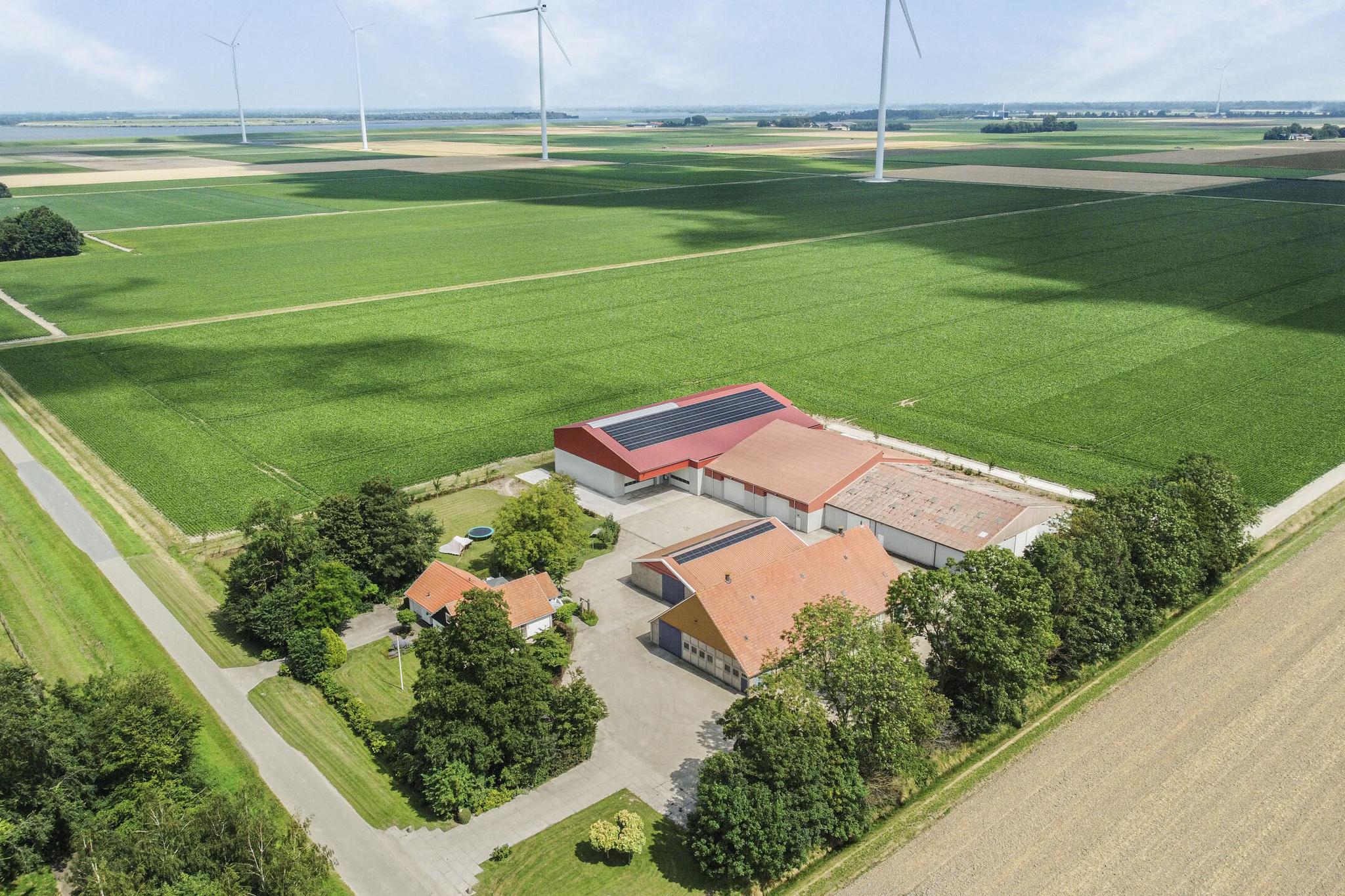
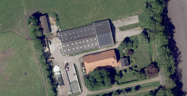
Three plots of agricultural land totaling approximately 17.2 ha located on Spangerweg in De Waal.
Texel, Netherlands
The plots are cadastral within the municipality of Texel section N. The plots together form one parcel by means of a dam over the wide ditch, but can also be sold as three separate parcels. However, the wide ditch is not included in the sale.
Characteristics
Characteristics
Description
Agricultural Land
The plots have a total size of approximately 17.2 hectares and can be divided into plot I of approximately 4 ha, plot II of approximately 8.4 ha, and plot III of approximately 4.8 ha.
The soil type of the plots is light loam and sand. The legal soil type is designated as sand and clay.
The plots are accessible in multiple ways from Kadijksweg and Spangerweg.
The plots have a round layout for drainage to the surrounding waterways.
In recent years, the land has been used in accordance with organic farming requirements as grassland for an organic dairy farm. The organic use can be continued.
In the current situation, there are still trench silos on cadastral plot Texel N 3426. These silos and the paving will be demolished before delivery, and the topsoil will be restored on the plot. The current ditch
and the lower part of plots Texel N 3426 and 3428 will be filled in, and the level of the plot will be improved. In the new situation, a ditch will be dug behind the current yard, on the border
of plot N 3426, and on the east side of the yard to Spangerweg. The property boundary will be located in the middle of the newly dug ditch.
The current yard of Spangerweg 10 will receive a new designation through 'Space for Space'.
Environmental Plan
Within the zoning plan Buitengebied Texel 2013, the main designation is: 'Agricultural – Old land'.
For plot Texel N 3426, the Environmental Permit 'Spangerweg 10 De Waal' applies, whereby it has been decided that the building plot of Spangerweg 10 in De Waal will be enlarged to 1.5 ha.
Prohibition on Keeping Livestock (LBV)
At the location of the current building plot, no farm animals may ever be kept. A qualitative obligation will be included in the deed of transfer for this. This provision only applies to plot N 3426.
Other
There are no notes regarding easements, but there are pipelines and cables running through plot Texel N 334 (see KLIC notification).
Soil samples can be sent upon request.
Information and Purchase Price
Brochure on request, maps and the KLIC notification available.
Asking price on request. Buyer’s costs.
For information, appointments for viewings, and bids, you can contact our office and the selling agent J.E.T. Nannenga exclusively.
0348 74 84 11
06 11 39 29 26
nannenga@interfarms.nl
We strive to contact you within 48 hours.

The Netherlands
With a population of over 17 million and an area of 41,543 km², the Netherlands has a high population density of 504 per km². About 18% of its surface area consists of water, and a significant portion of the land and population is located below sea level. The country is protected from water through a system of dikes and waterworks. Polders have been created through land reclamation. The landscape of the Netherlands is flat almost everywhere. The Dutch landscape mainly consists of cultural landscapes and managed nature reserves. Over the centuries, not only has the natural environment changed, but due to the shrinking and fragmentation of habitats and environmental pollution, both the quality and quantity of nature have deteriorated. Efforts are being made through nature policy and private initiatives to reverse this trend.
Through diversification in agriculture, entrepreneurs must also try to generate income from non-agricultural activities. These include agricultural nature and water management, agro-tourism, and care farms.
